Papua New Guinea is a Member of the Coral Triangle Initiative on Coral reefs, Fisheries and Food Security (CTI-CFF), and in order to support the marine biodiversity goals of the CTI Regional and National Plans of Action, one action they have prioritised, is the need to strengthen marine governanc
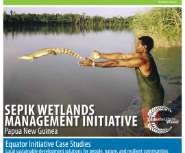
The Sepik River is the longest river on the island of New Guinea. The majority of the river flows through the Papua New Guinea provinces of Sandaun and East Sepik, with a small section flowing through the Indonesian province of Papua.
The Conservation Needs Assessment (CNA) for Papua New Guinea was requested by the government of Papua New Guinea and funded by the U.S. Agency for International Development (USAID).
The management plan describes the priority strategies for the upland areas of the Lake Lanuto'o National Park that will best maintain and improve the key conservation values in these areas by reducing the impact of threats, including from climate change.
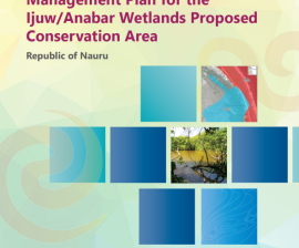
The management plan describes the priority strategies for the Ijuw/Anabar wetlands Proposed Conservation area (PCA) that will best maintain and improve the key conservation values in this area by reducing the impact of threats, including from climate change.
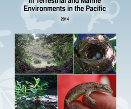
SPREP presents these guidelines for undertaking rapid biodiversity assessments in its Pacific island member countries and territories: Micronesia, Melanesia, and Polynesia. These assessments are referred to as BIORAPs.
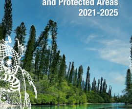
This Pacific Islands Framework for Nature Conservation and Protected Areas 2021-2025 is the principal regional strategy document for environmental conservation in the Pacific.
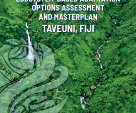
This project identifies a range of Ecosystem-based adaptation (EbA) options that support ecosystem function and the community's continued to access to ecosystem services.Read more
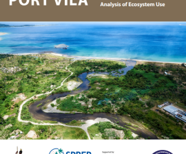
This technical summary document reports on the findings from the first phase of ESRAM activity that was conducted in Greater Port Vila between January and June 2016.
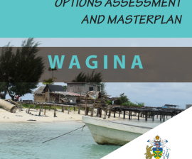
This report presents the Ecosystem-based Adaptation (EbA) Options Assessment and Masterplan for Wagina prepared as part of the Solomon Islands Ecosystems and Socio-economic Resilience Analysis and Mapping (ESRAM) to assess and prioritise climate change-related ecosystem-based adaptation options f