This package/collection of training materials constitute an introductory, basic-level training to open source GIS software (QGIS) targeting technical-level government officers.
This package/collection of training materials constitute an introductory, basic-level training to open source GIS software (QGIS) targeting technical-level government officers.
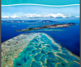
Many Pacific coral reefs are being damaged by habitat disturbance, pollution, fishing and climate change. Climate change is believed to be the greatest human-induced threat to corals in the Pacific region. The region needs an action plan to make cohesive decisions that will benefit coral reefs.
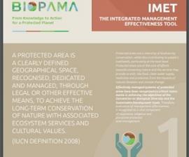
The Integrated Management Effectiveness Tool (IMET) is an approach to support protected areas planning, monitoring and evaluation and to improve management patterns and conservation outcomes.
Despite islands contributing only 6.7% of land surface area, they harbor ~20% of the Earth’s biodiversity, but unfortunately also ~50% of the threatened species and 75% of the known extinctions since the European expansion around the globe.
Climate change and urbanisation in combination put great pressure on terrestrial and ocean ecosystems, vital for subsistence and wellbeing in both rural and urban areas of Pacific islands. Adaptation is urgently required.
As the COVID-19 pandemic continues to affect societies across the world, the ongoing economic and social disruptions are likely to present fundamental challenges for current and future biodiversity conservation.
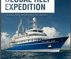
The expedition was conducted by KSLOF, a US-based nonprofit environmental organization dedicated to providing science-based solutions to protect and restore ocean health.